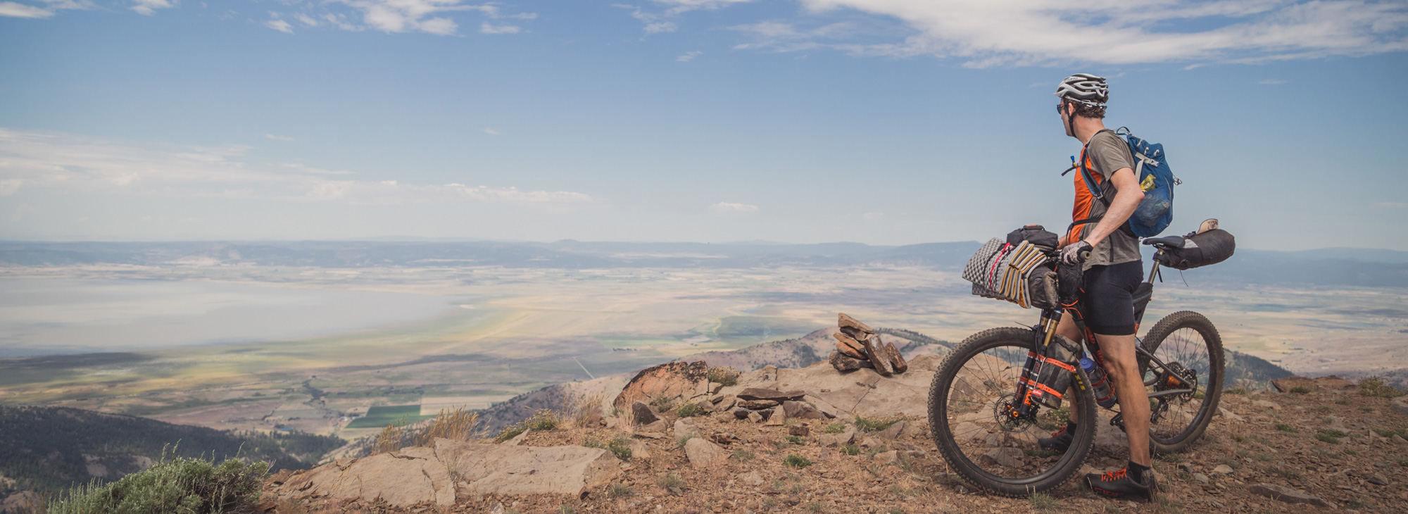
So, maybe you’re thinking of an epic riding adventure. Something that will really push you out there, to or even past your limits. Like, say, the Fremont National Recreation Trail. It’s a massive undertaking – a 135-mile, self-supported ride through rugged and isolated territory, with unpredictable weather and challenging wayfinding. Highly demanding, highly rewarding if you can do it.
But maybe you should get a taste of this first… just to get the lay of the land. Come on down and ride the Morgan Butte – Chewaucan River Loop. It’ll get your attention, provide jaw-dropping scenery and views, and quite possibly inspire you to go bigger, once you’ve gotten a sample of south-central Oregon backcountry riding.
This 34-mile loop crosses stunning landscapes that’ll make you feel like an Old West explorer/scout on your faithful pony. And its centerpiece might just be the joyful single-track drop that slides down 9 miles into a remote river valley.
Plan well, starting with picking a good time of year to ride – that would be spring to fall, after and before any snowfall that year. And make sure you provision yourself in Paisley, where this ride begins and ends. This is going to take a while.
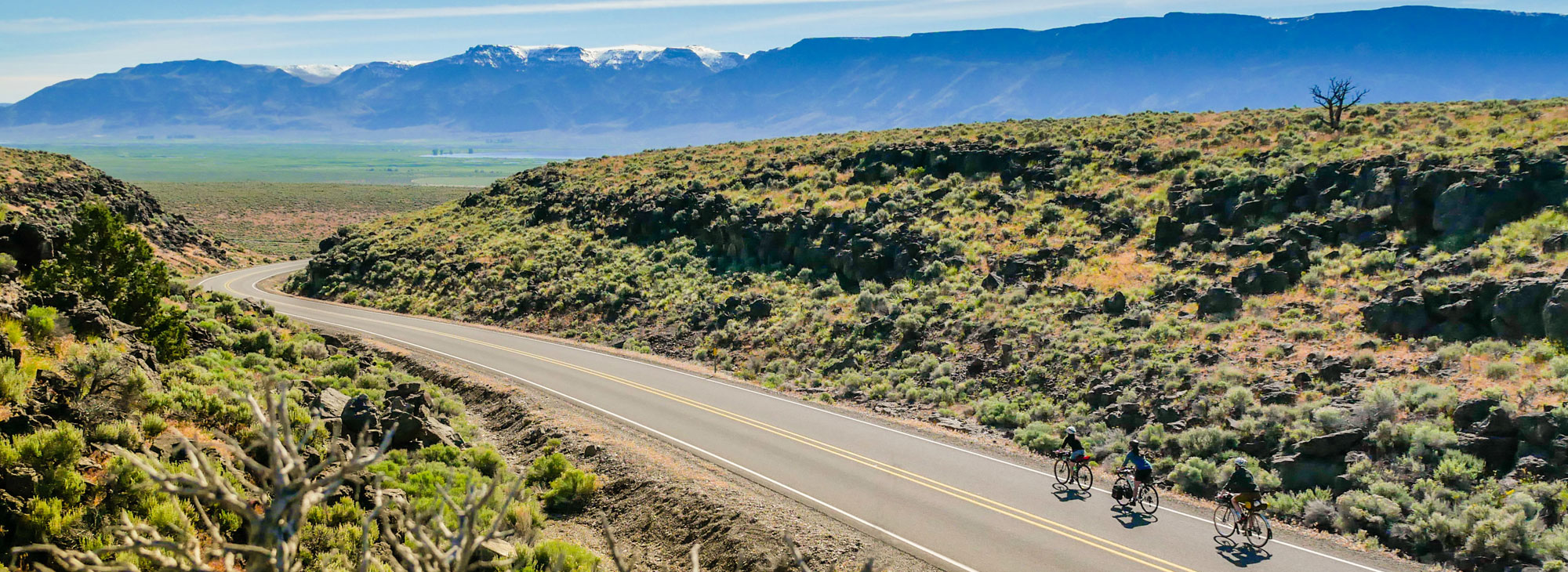
The start lets you ease into your groove, as you roll down Highway 31 for roughly six miles, and then veer right onto the county road when 31 takes a turn to the left, for 3 more miles, all on a very gently rising grade. You might see a motor vehicle; you might not – you’re in the rural here, and you should savor it. While you have time (meaning, while you’re not either panting from climbing, or whipping through the forest so fast all you can concentrate on is the next obstacle), see how much you can hear –it’s amazing how many small, distinct sounds you can pick up out here. And you might also want to size up the long ridge looming above you on the right –that’s where you’re headed.
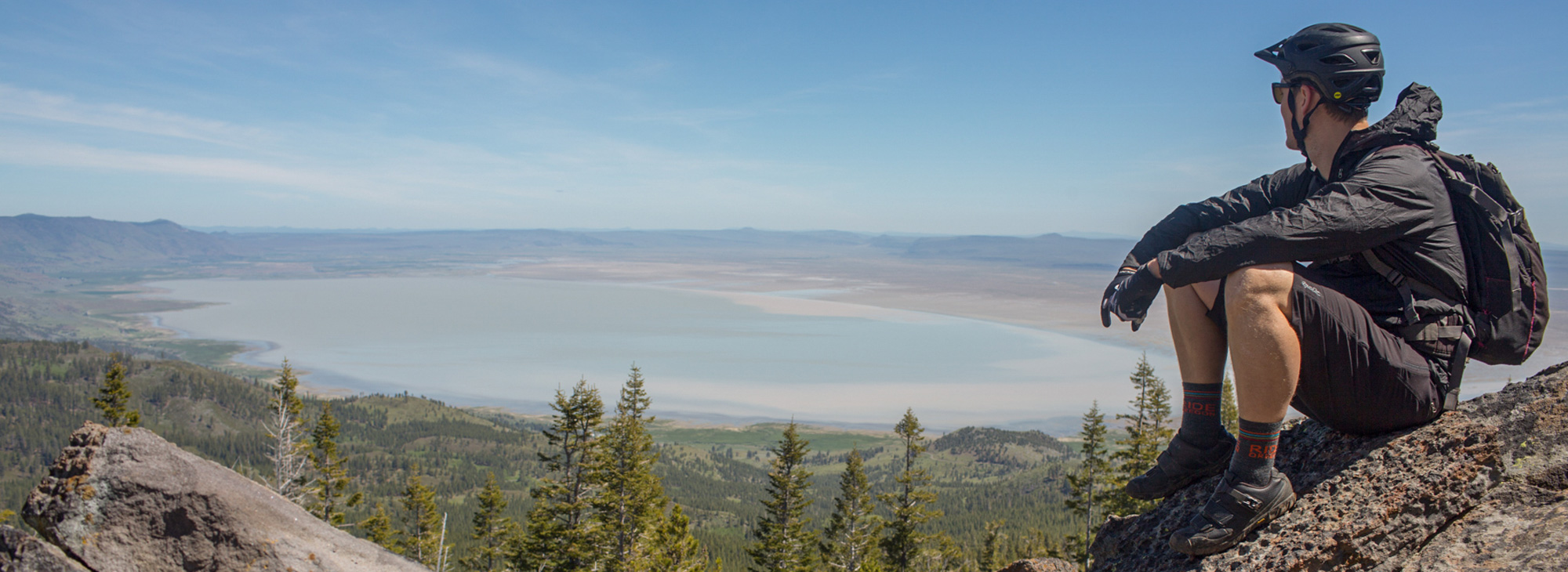
At 9.5 miles you’ll take another angled right, and soon after begins the work. The climb up Morgan Butte gains 2,600 feet over 7 miles; it’s a stout pull, but as is so often the saving grace of a tough climb, you’ve got plenty of scenery to inspire you and distract you from listening to your legs. At the crest you’ll be above 7,200’– yes, oxygen gets a little less prevalent up here – and you can take a well-deserved break to scale the stairs of the Morgan Butte fire lookout. Up there you’ll have a panoramic, uninterrupted 360-degree view; seeing Mt. Shasta more than 100 miles to thesoutheast will give you a good feel for the scale of this view.
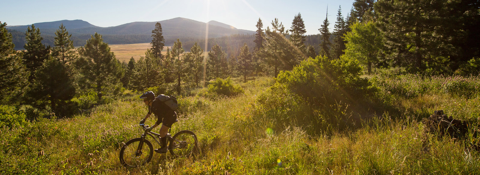
You’ve done the work; now it’s time to play. As you turn north, pointed back toward Paisley, the descent rolls and bucks and throws a little of everything at you – from chunky rocks to maneuver around or over, to pine-needle beds you can drift on atfull throttle.
Unless you brought a buddy, chances are you’ll have the trail completely to yourself, so ride it like you own it. After some ridge-running, the path drops about the same number of feet as you climbed – but in this direction you get 10 miles to enjoy it. Land-surf the trail as you slide deep down into the valley below. But try to pull yourself away from the action to stop briefly and enjoy wide-open views in three directions – if you don’t bring back some photos from the trail, no one will believe your tales.
Eventually you’ll emerge from the trees, out into into the brushy terrain above the Chewaucan River, as you ease into the final trail segment. Cross the river and head toward town, enjoying the last seven miles or so on a gradual downhill grade. The last stretch of road is paved, and it carves turns through the bottom of the narrow river valley and back to Paisley.
Still riding the endorphin high of your adventure, now might be a good time to grab a bite and a beverage in town – and start planning an even bigger adventure.


